
Durham ZIP Code Directory Coverage
Durham County's official administrative GIS service returns 15 postal polygons that intersect the county. They are county-intersection shapes, not a claim that every address using a listed postal label lies in Durham County or the City of Durham. The table keeps the service's postal labels separate from municipal identity. It is deliberately narrower than a universal Durham mailing list because state, city, and USPS materials show additional special, campus, and postal-use codes that require an address-level check.
| ZIP | Areas Covered | Post Office | Notes |
|---|---|---|---|
| 27278 | County-intersection area | Hillsborough postal label | Postal city outside Durham |
| 27503 | Northern rural county context | Bahama postal label | County-intersection polygon |
| 27509 | County-intersection area | Butner postal label | Postal city outside Durham |
| 27560 | County-intersection area | Morrisville postal label | Postal city outside Durham |
| 27572 | Northern rural county context | Rougemont postal label | County-intersection polygon |
| 27583 | County-intersection area | Timberlake postal label | Postal city outside Durham |
| 27613 | County-intersection area | Raleigh postal label | Wake and Durham postal overlap |
| 27701 | Downtown Durham | Durham main post office | City and county use |
| 27703 | East Durham | East Durham station | Durham and Wake overlap |
| 27704 | North Durham | North Durham station | City label can differ by address |
| 27705 | West Durham and Duke-west area | West Durham station | Durham and Orange overlap |
| 27707 | South and east Durham | Shannon Plaza station | Durham and Orange overlap |
| 27709 | Research Triangle Park | RTP station | Campus and business postal context |
| 27712 | North Durham | Durham postal label | Durham and Orange overlap |
| 27713 | South Durham | Durham postal label | Durham and Chatham overlap |
State and city materials also flag 27517, 27617, 27702, 27708, 27710, 27711, 27714, 27715, 27717, and 27722 in Durham-related postal use. The 15-row GIS result and those supplementary codes serve different purposes. Validate the actual site instead of treating either list as proof of county, city, or residence.
Fifteen Durham County ZIP Polygons
The Durham County ZIP GIS layer supplies ZIPCODE, JURISDICTI, and CITY attributes for the county-intersection geometry. Turn on that layer in the current county map before deciding which polygon touches an address or parcel. The fields give a practical map filter, but they do not turn a postal area into a legal municipality. They can also differ from a present USPS result if service or layer maintenance changes.
The official layer is the visual starting point for the county-intersection polygons.
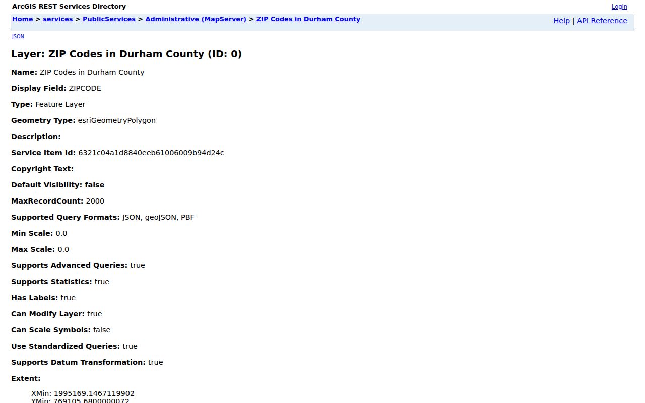
Use the selected polygon's attributes alongside the parcel location. A ZIP label can be shared with Raleigh, Chapel Hill, Morrisville, or another nearby postal community without changing the county tax or court custodian.
The layer's ZIPCODE, JURISDICTI, and CITY fields should be read as map attributes, not as a hierarchy. A city label may be outside Durham even when the polygon touches Durham County. Conversely, a Durham-associated mailing code can appear in city or state material without appearing as one of the 15 county-intersection polygons. Record the layer name, selected ZIP, returned attributes, and check date when a postal boundary matters to a parcel or records request.
Note: Keep the GIS check date with the result because ZIP polygons, service areas, and city designations are separate maintained data sets.
USPS Tools for Durham ZIP Codes
The USPS ZIP Lookup is the address-level validator for a postal question. It has three different modes. By Address uses a required street address, city, and state, with optional company, apartment or suite information, and ZIP. By City and State requires those two fields. Cities by ZIP Code uses a required ZIP. USPS cautions that its result does not confirm that a person or company is located at the address, so it should validate mail delivery rather than establish who is there.
| USPS mode | Required fields | Best use |
|---|---|---|
| By Address | Street address, city, state | Validate a specific target address |
| By City and State | City and state | Check postal choices for a named place |
| Cities by ZIP Code | ZIP | See USPS city labels for one code |
Use the full street and unit where several results appear. That resolves a postal question more reliably than a static list, especially around county or city edges. The Durham ZIP code directory therefore does not publish a universal Durham list. The county layer measures intersections with the county, while city and state lists may include postal or special-use codes outside that geometry. A mail label is useful evidence of delivery routing, but it is not evidence of city limits, county jurisdiction, a parcel location, or a current resident.
Finding Durham Residents by ZIP Code
A ZIP-specific inquiry needs a tool that actually accepts the filter. The inspected parcel search has no ZIP field. The voter lookup has County, not ZIP, and returns precinct and district information. USPS directly accepts a ZIP, while FAST GIS can select a ZIP polygon, query its attributes, and export the selected table. This Durham ZIP code directory keeps those routes separate so a searcher does not assume an unsupported field exists.
- Validate the target mailing address in USPS By Address mode, including the unit if needed.
- Open FAST GIS, turn on the ZIP layer, and select the polygon that contains or meets the target parcel.
- Use the county parcel search by address, PIN, or owner to identify property data, not by a nonexistent ZIP filter.
- Use the voter result's county, precinct, and district fields for election context rather than inferring them from the postal label.
Once a ZIP has narrowed the area, the Durham street directory provides the separate address-by-address record route. A postal area alone cannot identify a current resident.
Durham ZIP Code Parcel Filters
County property work combines the GIS map with the parcel system. The parcel search accepts address, PIN, owner, and related parcel keys, while the map can display the ZIP layer around the site. This is a two-step route: first locate the parcel through its own searchable identifier, then view the postal polygon spatially. The assessor's record can show owner and parcel facts, but it has no ZIP query box and should not be described as a ZIP-wide people search.
The official property service layer shows the county's parcel mapping context.
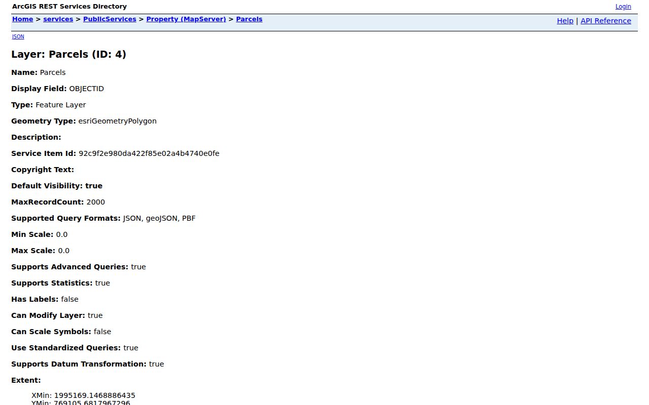
Pair a mapped parcel with its situs address, mailing address, and parcel identifier. The tax owner display can be useful for land research, yet it does not establish that the listed person currently lives there.
The Durham land-record GIS route connects property research to the county's maintained land-record tools.
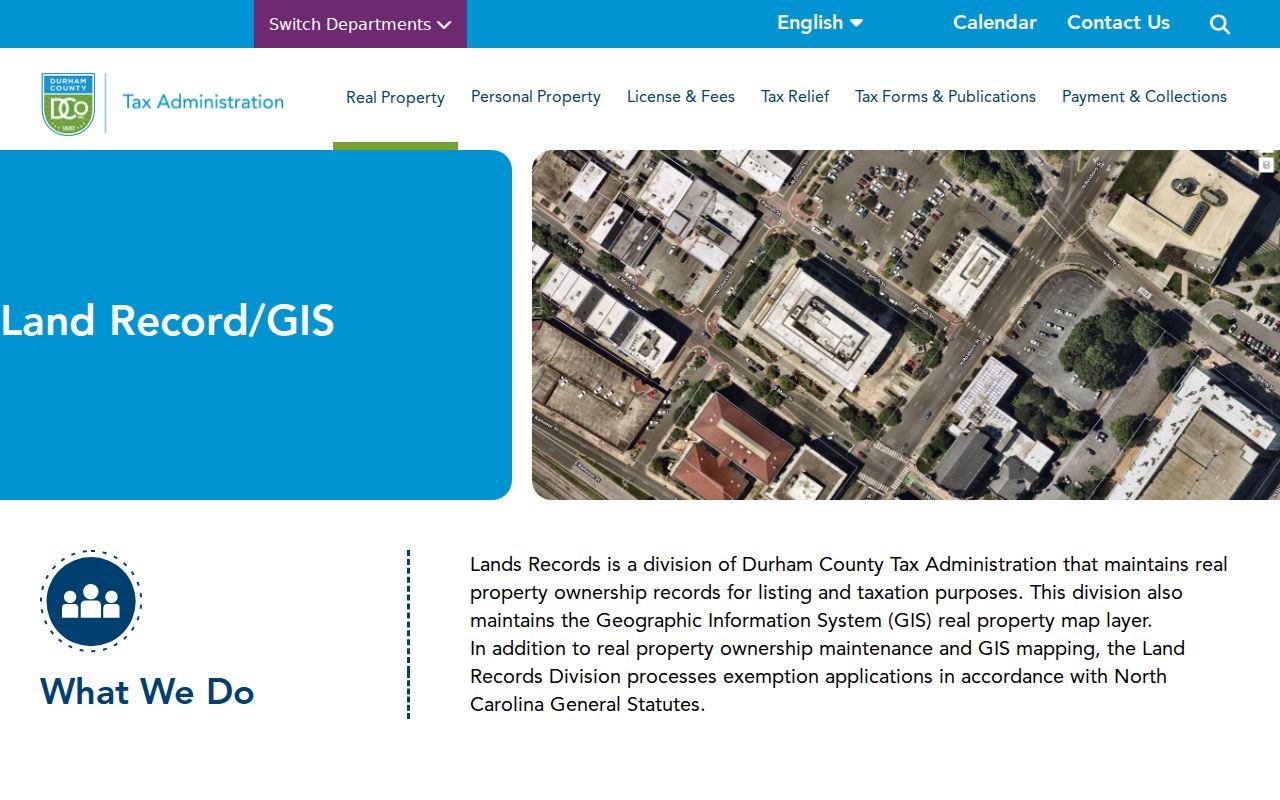
That split between a parcel identifier and a postal label prevents a common mismatch: a ZIP may cross the county, while the tax record remains with the county where the parcel sits.
Durham Voter Records Are Not ZIP Filters
North Carolina's voter search allows name controls with an optional year of birth, county, and status. Its results place a person in election jurisdictions such as precinct, county commissioner, city council where applicable, and school or judicial districts. Those are more useful than a postal label for an election question. The state may provide voter lists by written request with permitted selective fields, but the inspected sources did not expose a current form or fee schedule for a ZIP extract. Confirm the request scope and cost with the State Board before making a request.
Postal geography and election geography often meet at an address but do not share a boundary. Report the date checked and use the result's jurisdiction fields rather than guessing from the ZIP.
Durham ZIP Code Boundaries and City Limits
Postal geography is the key local caveat. The official material documents overlaps for 27703 across Durham and Wake, 27705 and 27707 across Durham and Orange, 27712 across Durham and Orange, and 27713 across Durham and Chatham. It also notes 27617 in Raleigh, Durham, and Wake use, plus the 27517 Chapel Hill and Durham area. A city label, county line, parcel jurisdiction, and postal area are each a separate layer. None proves a city limit or a person's residence.
The Census QuickFacts entry for Durham County supplies county-level context, not ZIP-level boundaries or a substitute for the GIS layer.
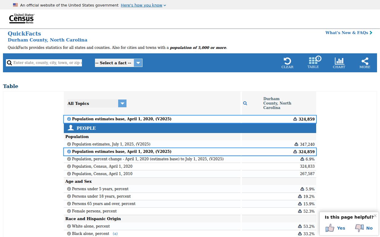
The distinction matters most near an edge: a familiar Durham mailing label can still require another county's record custodian or lie outside city limits.
- ZIP versus ZIP+4
- A ZIP is the broad postal code. ZIP+4 adds delivery-sequence detail for a smaller mail segment.
- PO-box ZIP
- A postal code used for post-office boxes. It is not a claim about a street area or current residence.
- Unique ZIP
- A code associated with one organization or institution. Campus use, such as Duke-related postal use, is not a normal area proxy.
- Carrier route
- A mail-delivery grouping used to move mail. It is not a county, city, parcel, or electoral boundary.
Durham ZIP Post Offices and Postal Labels
Durham's main post office listing is 323 E Chapel Hill Street for 27701. The research also identifies West Durham for 27705, Shannon Plaza for 27707, RTP for 27709, College or E Duke Campus for 27708, East Durham for 27703, and North Durham for 27704. Those station labels help interpret a postal result, but they are not an exhaustive list of every county-intersection polygon. They also do not prove a municipal boundary or an occupant at a delivery address.
Use USPS By Address mode for a target delivery point and preserve the site's result disclaimer. The current county GIS layer then answers the separate question of which mapped postal polygon intersects Durham County. This two-source check is the safest response when a Durham-associated code appears on more than one official list. Where the two sources seem to disagree, retain both results and ask the relevant postal or county custodian which maintained layer controls the request.
Note: A postal station name describes mail service and should not be used as a substitute for the parcel's county or city jurisdiction.