
Trace a Durham Street by Address
A Durham street directory search works best as a short chain, not as a claim that one source identifies every household. Begin with the exact number and street name in the county parcel search. Save the parcel PIN or REID, situs address, owner display, and any deed or plat reference. Then open FAST GIS with the address or REID to check parcel geometry, address points, and map layers. Those steps build an address record, not a social roster.
Next, open the deed identified by the parcel card. Record the grantor, grantee, recording date, book and page or instrument reference, and legal description. The person named on a tax card may be a trust, estate, or mail contact. The deed addresses title, while a dated directory is the better source for a historical printed address. Keep those categories separate throughout a street-by-street search.
- Search the parcel record by street number and name.
- Save the PIN or REID and any deed or plat reference.
- Use FAST GIS to inspect the parcel and adjacent map features.
- Follow the deed reference through the Register of Deeds and read the instrument itself.
- For a former occupant, compare the appropriate Durham directory year and its street or cross-reference section.
Note: A public voter lookup is not an address-browse tool, and a current tax owner should not be called a current occupant without source support.
Durham Street Directory Search Fields
The county parcel system gives the street directory its first set of controlled fields. It accepts Building Permit No, Parcel ID, Parcel PIN, Street Number, Street Name, Unit Number, First Name, Last Name, and Company Name. Street number and street name can be used without a complete postal address. That makes it possible to begin with a known segment, then narrow the result with the parcel identifier rather than guessing from similar owner names.
| Field | Address research use |
|---|---|
| Street Number / Street Name | Find a parcel without a full postal string. |
| Unit Number | Distinguish unit-level address entries when present. |
| Parcel ID / PIN | Carry a map result into deed and land-record research. |
| Building Permit No | Connect an address query with a permit reference. |
| Name / Company | Find a tax-owner display, not a household list. |
The official Durham parcel search should be checked for its current form and results before documenting a particular street.
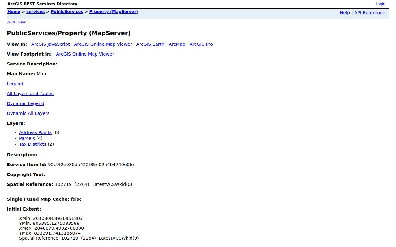
The property service provides the parcel-level starting point needed for a careful Durham street search.
Durham FAST GIS Along a Street
FAST GIS is the geographic layer for the Durham street directory. The public map supports address or REID searching, parcel selection, layer controls, buffers, a data table, export, measurement, print, and share. It also has development-case searches by type, status, and date. Select a target parcel first, then turn on the parcel and address-point layers one at a time. The buffer and selection tools can identify geographic adjacency, but they do not prove a social connection or that every parcel owner lives on the property.
For a street segment, record the selected parcel IDs, addresses, source date, and layer name. A map boundary is not a legal survey opinion. A GIS acreage calculation can differ from acreage stated in a recorded legal description, so both values need their source label. The map’s export features are useful for permitted public attributes, yet exported data still reflects the service update cycle.
Open the FAST GIS viewer before using map data in a Durham street directory note.
The viewer shows the spatial side of a street search, which must be read separately from deed and directory evidence.
Durham Street Directory Record Chain
Address-keyed systems answer narrow, complementary questions. The parcel card finds a mapped tax record. FAST GIS shows location and nearby parcel geometry. The Register of Deeds preserves the recorded chain of instruments. Permit applications and inspections can date work at an address. Historical directories identify a printed name or business at an address in a particular edition. The chain is stronger when each result retains its own date and identifier.
| Record set | What it supplies | Durham access |
|---|---|---|
| Parcel search | PIN/REID, tax owner display, situs and deed clues | County web search |
| FAST GIS | Parcel geometry, address points, layers and nearby parcels | Public map and data table |
| Recorded deed or plat | Parties, legal description, recording and prior reference | ROD portal or office route |
| Permit application | Project, application and address context | City application search |
| Directory / cross-reference | Dated printed address or telephone clue | Library and DigitalNC holdings |
The Register of Deeds online route is the correct next step once a parcel card provides an instrument reference.
Durham Permits by Street Address
Durham’s application search accepts Permit or Application No, Project Name, Street Number, Street Name, and Unit Number. The inspection search is keyed by permit number. A permit entry can add a dated development or work trail, but it does not establish who was physically present or who lives at the address. Retention and coverage dates were not published as a single universal history, so a no-result should be recorded as a source result rather than treated as proof of no work.
Use the application record to preserve the permit number, project label, address, and any displayed date. Then compare it with the parcel and deed records. This prevents a project address from being confused with ownership, occupancy, or a complete construction history.
Use the official application search for the current field options.
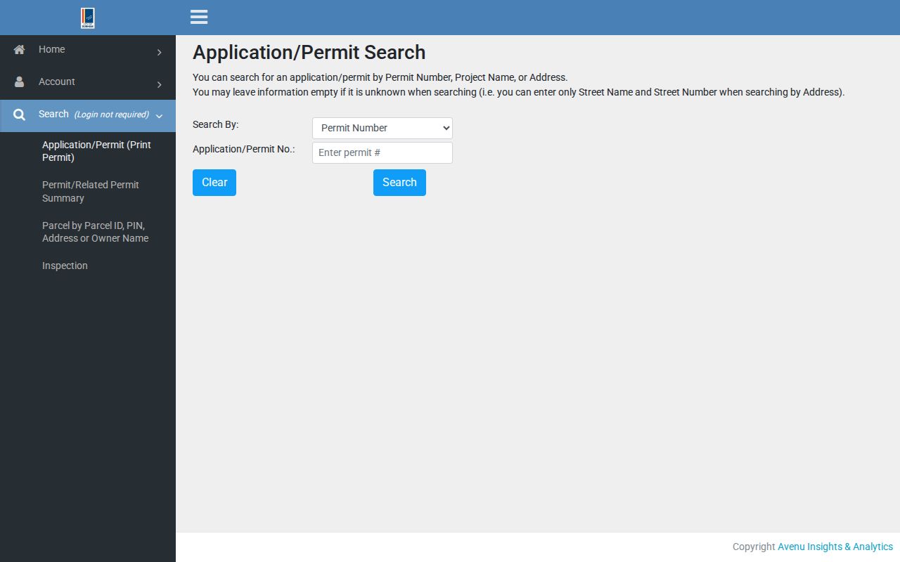
Permit search fields offer a separate, address-keyed source that can supplement a Durham street record trail.
The related inspection search requires the permit number, so it should follow an identified permit rather than replace address research.
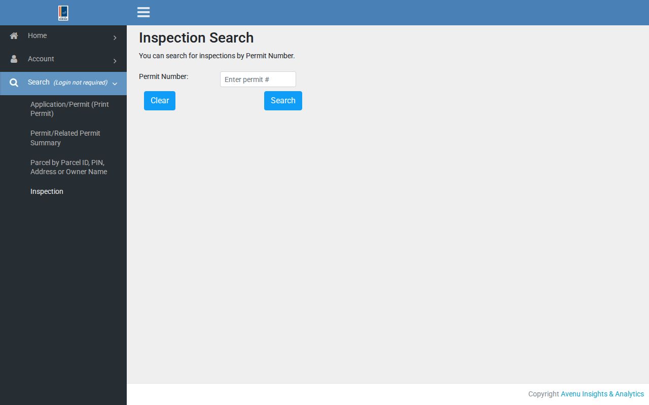
The inspection route shows why permit identifiers belong in the notes for a property-based street search.
Durham Deeds and Plat Books
The Register of Deeds holds recorded deeds, deeds of trust, plats, assumed names, and other recorded instruments. The online self-service notice says ordinary real-estate documents are available subject to exclusions for Historical Record, Condo Books, Corporate Books, Mortgage Books, and Plat Books. It also warns that images may be unavailable during backups or maintenance. The official research does not state one dependable start year for every live index search.
For a street history, use a deed book and page, instrument number, party name, or date if the current portal offers it. Read the deed’s legal description and any plat reference rather than treating a tax name as title. Historic plat books can be split A/B volumes, which is another reason to ask the office for the historical-book route when an expected item is absent online.
The ROD self-service disclaimer explains the online coverage limits before an address is treated as a complete deed search.
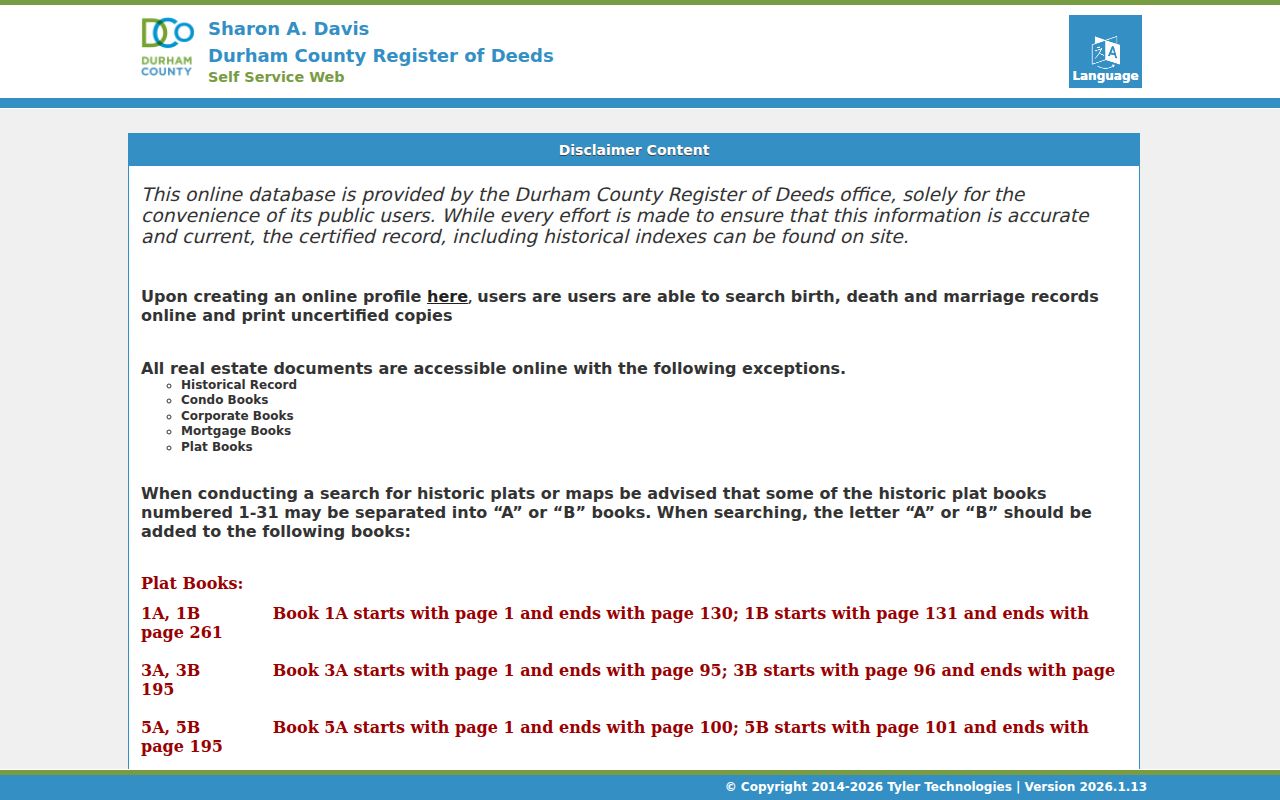
The disclaimer is a research clue in itself because excluded books may require a counter, paper, or microfilm route.
Durham Street Names Through Time
A modern Durham address can have older names, directions, or county custody. The city’s 2006 Street Naming and Addressing Project is a documented example of coordinated renaming and service-provider work. Streets can also be renamed, extended, closed, annexed, or transferred between maintenance authorities. The municipal process alone does not supply a full historic alias table, so a particular street should be verified with planning or addressing staff, historic maps, and the deed chain.
County history is another key boundary. Durham County formed in 1881 from Wake and Orange counties, and the county later gained Wake land in 1911. A land record before 1881, or one in the transferred area before 1911, can belong in a predecessor county. The city directory street section generally begins around 1919/20, so an older address query needs an alphabetical directory entry, map, deed, or newspaper route.
Note: Preserve the spelling and number exactly as printed in each source before deciding that two historical addresses represent the same place.
Durham Street Directory Terms
Address research becomes clearer when the record type is named correctly. A parcel is the tax and mapping unit. A situs address is where the parcel lies. A mailing address receives tax correspondence and may belong to a trustee, bank, estate, or other contact. A plat is the recorded map or plan that can define lots or boundaries. A criss-cross directory is a dated reverse address and telephone reference, not a modern occupancy record.
- PIN or REID
- A county parcel identifier used to carry a result between map and land systems.
- Legal description
- The deed language identifying land by lot, block, plat, or metes and bounds.
- Grantor / grantee
- The recorded parties who convey and receive an interest.
- Criss-cross directory
- A historical cross-reference that can connect an address with a printed name.
Durham County Library’s cross-reference directories run from 1962 to the present, while its city and county directories extend much further back. The detailed historical shelf belongs with the Durham city directory collections.
Limits of a Durham Street Directory
No Durham street directory can reliably identify every person at an address. Parcel ownership, a tax mailing address, a voter result, a permit, and a dated directory entry each describe different facts. DMV personal address information is not a public street-research substitute, and utility customer lists are not made public merely because a parcel is public. Protected voter and Address Confidentiality Program information also remains outside ordinary address research.
North Carolina’s public-records rule applies to existing records with required redactions. If a needed record is not online, ask the office that holds it for the appropriate inspection, copy, counter, phone, or mail route. Do not ask an office to build a new roster from unrelated systems.